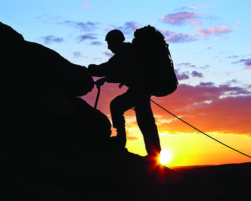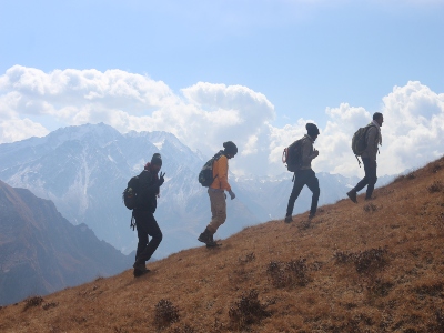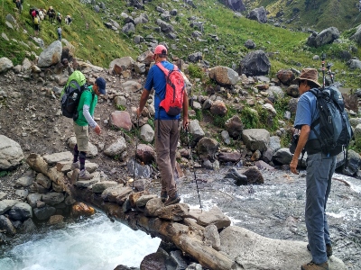

Manirang is the least known peak sited in the border between Kinnaur and Lahaul Spiti districts of Himachal Pradesh. It is the one of the highest crowns of Himachal Pradesh towering about 21,625 ft. the route of the Manirang peak leads through Manirang Pass, a shortest connector opted as the trade route between Spiti and Kinnour earlier. It was very remote region secluded from years and still the peak being hard to approach. The peak is located in the most harsh regions of India where vegetation is almost scarce and rocky distances are mindboggling. Extreme weather conditions extremely sharp ice walls jagged ridges undulating terrains moraines this all needed to be traversed precisely. This peak has a significant altitude and technicalities it is compulsory to have previous experience of climbing in extreme and intense weather conditions. The higher altitudes are fiercer with unpredictable weather conditions. The expedition starts from Kaza passing Sapena, Rankali, Pankit lands and finally commences the trail from Mane village, the last village of the expedition route. It is a gradual approach through vast fields, rusty brown mountains to freezing rivers to cross. Further the moraines will show its sheer occurrence followed by scree slants vast boulder fields up till the camp I. then following the river will take us to the camp II from where we can have a first glimpse of the magnificent Peak. After Camp II massive ice fields will appear en route the Manirang Pass. It is mixed of scree and stiff slopes packed with heavy boulders as we reach the pass. On the following day a recce needs to be done before attempting the summit. The stretch towards summit is rocky filled with loose stones rocks engulfed by rock hard ice beneath, and worse to that the gradient keeps reclining as the altitude is ascended. So every safety measures are to be considered carefully during this mixed terrain climb. The summit is conquered after a great exertion. At the top breath talking 360 degree view will present most of the Himalayan peaks towering high amidst the misty clouds. A Puja will be held hastily, have blessings for safe descend and climb down the mountain cautiously.
State :Himachal Pradesh
Region: Spiti valley
Duration: 19 Days
Trek level: Moderate to Difficult
Best time : June to October
Max Altitude: 21,625 Ft
Day 1: Arrive Manali in the Morning. Mandatory Paper work and other preparation.
Today all the documentation at concerning offices and preparations will be done.
Day 2: Manali to Kaza. (Manali to Kaza(Spiti) by taxi n 8 to 10 hours.)
Day 3: Kaza to Mane village. (2 hour by taxi).
Day 4: Trekking to Transit Camp, 4 hr trek and halt. (5 to 6 hours.)
Day 5: Transit camp to Base camp. 4 hr trek and halt..
Day 6: Halt at Base camp for acclimatization.
Day 7,8,9 Base camp to C- I load ferry and back to base camp.7 hr trek.
Day 10:Camp I occupied and halt.
Day 11 Load ferry to C-II
Day 12 Occupied C-II
Day 13 Camp 2 to summit Camp.
Day 14Summit day.
Day 15Reserve day for Summit and back to camp 2.
Day 16 Back to base camp and halt at base camp.
Day 17All members move down to Mane village and halt.
Day 18Mane to Kaza to Manali by Taxi.
Day 19Expedition end after Breakfast.


